A Crossing or a Ridge: Two Ways to Place a Village
Compare a village at a crossing with one along a ridge to see how slopes, water, and routes shape its layout and the choices that connect it to nearby places.
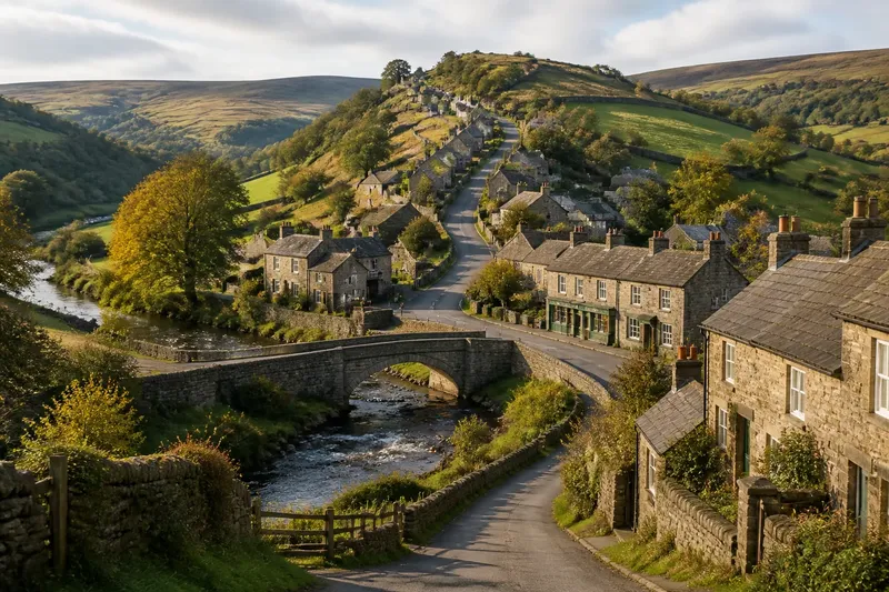
Is a village gathered around a crossing, or strung along a ridge? The difference is visible in how its streets meet streams, slopes, and higher ground. A crossing tends to draw routes toward a passage; a ridge offers a longer line of usable land.
Crossing settlements
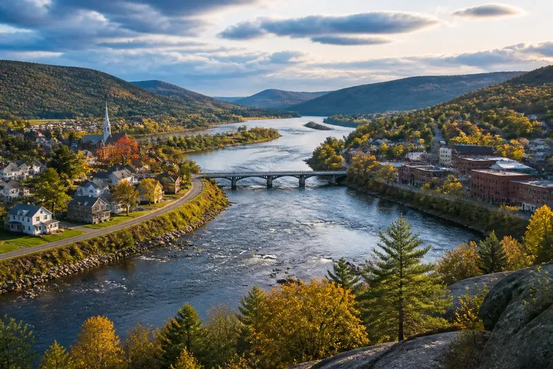
A crossing settlement forms near a place where a route passes over or through an obstacle. The passage might be a bridge over a stream, a ford across shallow water, or a dry gap between marsh and hillside.
Because routes converge there, buildings may cluster near the approaches. Shops, a public building, or older homes can sit close to the point where local paths join the main route, while the settlement itself extends onto safer or drier ground.
The land around the water helps explain the exact layout. Low banks may be damp or exposed to changing water levels, so houses can stand on a slight rise nearby rather than directly beside the channel.
Ridge settlements
A ridge settlement follows an elevated strip of land. A road may run along the crest, or houses may occupy a gentler shelf just below it, forming a line rather than gathering around one focal point.
Ridges can offer a connected route across uneven or wet ground. Side lanes and paths often descend toward fields, streams, or neighboring hollows, linking the settlement to places below.
The width and slope of the ridge influence where buildings fit. A broad, gentle crest may support a cluster, while a narrow section may leave little room beyond the roadside. A saddle, the lower dip between higher points on a ridge, can provide a natural route across it.
Layout differences
The main contrast is between a focal point and a corridor. In a crossing settlement, roads tend to converge on a passage; in a ridge settlement, they may run lengthwise along higher ground. A village can show both patterns, with a ridge road leading down to a bridge.
Water also has a different role. At a crossing, a stream or wet area is the obstacle that makes the passage significant. Along a ridge, water may lie below the houses, reached by descending paths.
Imagine a village with a stream on its southern edge, a low ridge to the north, and a bridge linking two roads. Suppose the main street follows the ridge and descends toward the bridge, where several lanes meet. The layout combines both forms: the ridge carries movement through the village, while the crossing gathers routes at its southern end.
Reading a village layout?
What makes a village a crossing settlement?
Look for a bridge, ford, or other passage that draws routes together across water, marsh, or a steep-sided channel. Buildings may gather near the approaches, even if the rest of the village stands on higher ground.
Why do houses follow a ridge?
A ridge provides a strip of higher ground through terrain that may be wet or uneven. Roads and houses can follow its crest or a flatter shelf, with paths branching down the slopes.
Can a village have both patterns?
Yes. A ridge road may lead to a bridge, or buildings may spread uphill from a crossing. Describe the dominant pattern and mention the second feature rather than forcing the settlement into a single category.
What should I check on a map?
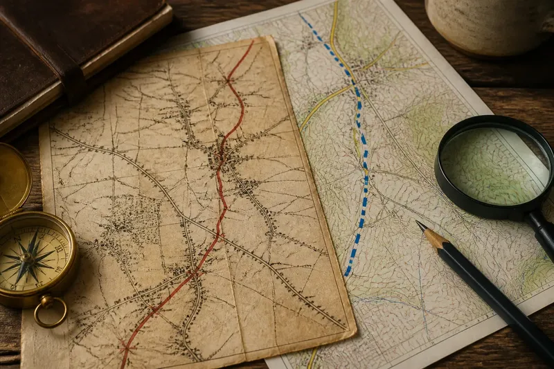
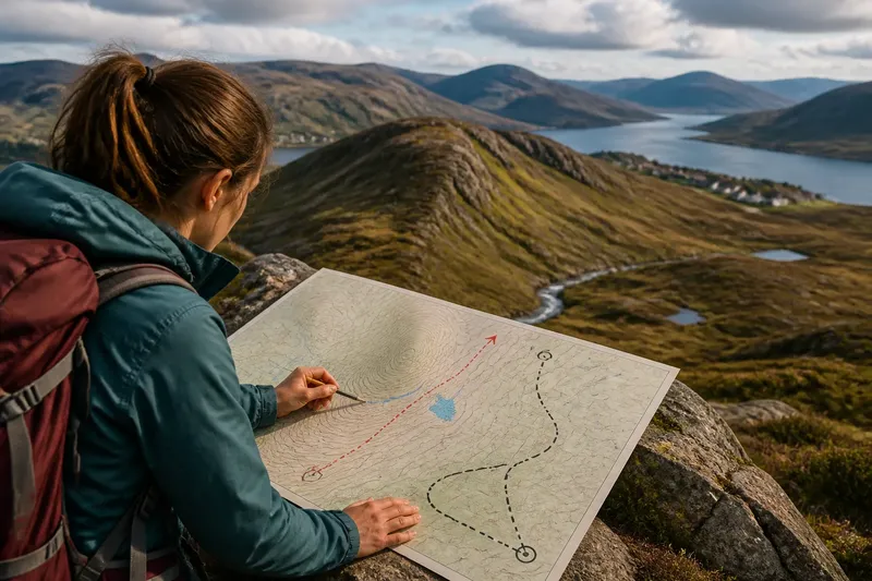
Compare the stream, bridge, road bends, contours, and building pattern. Contours indicate the shape of rising ground; roads that converge on a passage suggest a crossing, while a road and buildings extending along higher ground suggest a ridge.
Testing the distinction
Use a topographic map or a detailed online map to identify the stream, bridge, ridge, and main street. Then check whether roads gather at the crossing or continue along the elevated strip. A visit from a public road or path can clarify where slopes, open ground, and houses meet.
- Bridge approaches: Check whether roads meet at a bridge. If they do, treat the crossing as a likely organizing point; if they do not, look for a ford or another route junction before classifying the settlement.
- Stream banks: Check whether houses stand beside the channel or on slightly higher ground. If they sit back from low banks, note the separation; if they line the water, check whether the channel is actually the route’s crossing point.
- Road direction: Check whether the main road bends toward a passage or follows the crest. If it converges at a bridge or ford, consider a crossing pattern; if it runs lengthwise along the ridge, consider a ridge pattern.
- Building arrangement: Check whether buildings thicken near one point or form an extended line. If they gather near a passage, identify a crossing cluster; if they stretch along higher ground, identify a ridge-side line.
- Ground shape: Check whether the settlement occupies a broad crest, a narrow ridge, or a lower approach. If the crest is broad, allow for a wider settlement; if it is narrow, look for a roadside strip or a nearby shelf.
- Downhill paths: Check whether lanes descend from the houses toward fields or water. If they branch down from a ridge road, note the ridge connection; if they lead toward a bridge, assess whether the crossing also organizes movement.
For a fully worked invented case, suppose a map shows a stream, one bridge, a north-south ridge, and a street that runs along the ridge before turning toward the bridge. First, trace both road approaches: they meet at the bridge, so the crossing is a local focal point. Next, compare the houses with the land: most follow the ridge, while a smaller group stands near the bridge approach. The resulting description is “a ridge-side village with a crossing cluster,” which captures both patterns without treating either as the whole story.
For a village crossing or ridge, include the nearby landform in the same description. That makes clear not only where buildings gather, but how the settlement connects to its surrounding terrain.