A Slow Walk for Collecting Place Names
A slow walk for collecting place names helps you map clusters and gaps, preserve local spellings, and build useful notes without guessing at origins.
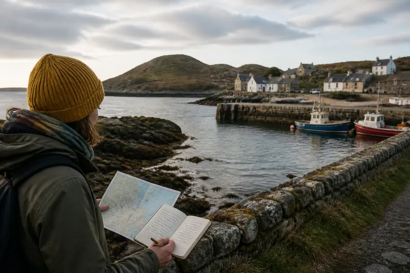
At a northern harbor, “West Quay” may sit beside a pier while a nearby shore appears unnamed. A slow walk for collecting place names can help you document such contrasts and keep map labels distinct from the places they may refer to.
Choose a compact area you can observe from public paths, such as a village center or harbor edge. Bring a map, a pencil, and a notebook or phone for recording notes; the aim is to make a clear record of what the map says and what you can actually see.
Choose a small area
Set a practical boundary before walking. A main street, shoreline, or cluster of buildings gives your notes a defined setting and makes it easier to compare nearby labels.
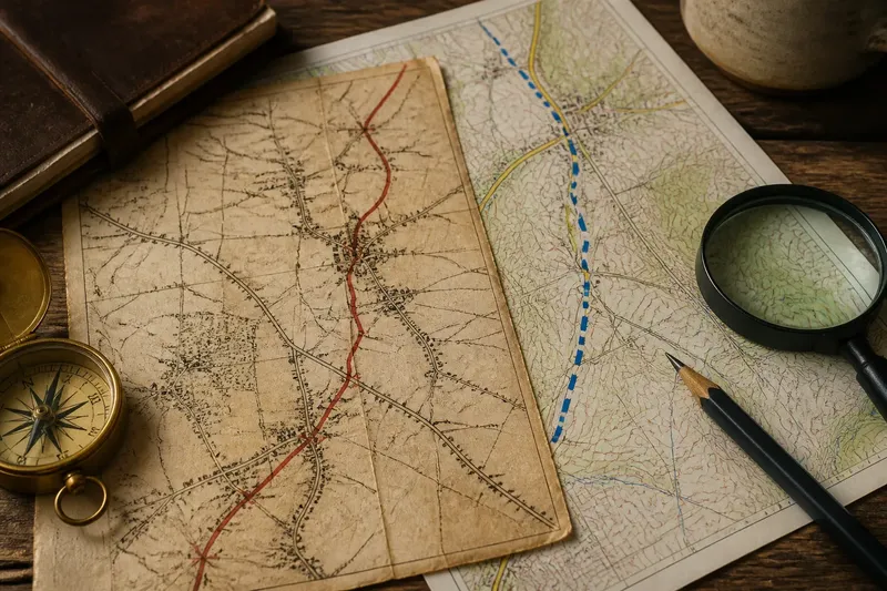
Choose a map whose labels are readable at the scale you plan to use. Record its title or provider and the date you consulted it: digital maps can change their displayed labels as you zoom, while printed maps preserve a fixed view.
If a mapped feature lies beyond a closed road or private land, observe from a public viewpoint and note that limit. A place-name walk does not require reaching every feature on the map.
Read labels in place
Move slowly enough to connect a printed label with visible surroundings. A name may refer to a bay, building, road, headland, or wider district; its position on the map does not always show its full extent.
Record concrete details such as “label beside inlet” or “name printed near road junction.” A slope, stream, pier, or bend may help you orient yourself, but it cannot by itself explain the name’s history.
Look for arrangements rather than causes. Several labels near a harbor entrance are a visible cluster on that map; the cluster alone does not explain why those places were named or selected for labeling.
Make useful records
For each name you choose to follow, write down its spelling, source, approximate map position, visible surroundings, and any unresolved question. If the map’s referent is unclear, say so rather than attaching the label to the nearest feature.
- Spelling: Copy the form shown, including accents or unusual characters. If a character is illegible, mark it as uncertain rather than supplying one.
- Source: Record the map title or provider and date consulted. If you cannot identify the source, keep the entry provisional and seek a named map before comparing spellings.
- Position: Note a nearby street, shore feature, or landmark. If the label falls between possible referents, record both instead of choosing one.
- Visible surroundings: Describe what you can see, such as a cove, rise, or group of buildings. If no clear feature matches, write “not located” and avoid assigning the name.
- Question: State the uncertainty plainly, such as whether the name applies to a point or a wider shore. If you can identify a precise question, save it for a suitable local source; otherwise, keep it open.
- Access: Note whether you observed the feature from a public path or only from the map. If access is restricted, do not enter; retain the map-based observation and mark the limit.
Say you are walking beside a small inlet and a map prints “North Point” near a low rise. You copy the spelling and map source, note that the rise is visible from a public path, and write that the label might refer to the rise or the surrounding shore. The resulting record identifies what you saw while leaving the name’s extent unresolved.
Notice gaps and clusters
A blank patch on a map means only that the map does not display a name there. Its scale, purpose, or label density may account for the gap; do not treat the blank as evidence that local people have no name for the place.
If one map labels an inlet and another labels nearby rocks, keep both entries with their sources. This preserves the difference between maps rather than implying they use the same naming choices.
For a cluster, mark the labels on your map or note their relation to a harbor, stream mouth, or junction. If the names sit near a transition between buildings and open shore, describe that position without treating any label as a boundary unless a source defines it.
Keep questions distinct
Names can invite guesses about language, people, events, or landscape features. A modern spelling alone may not reveal an earlier form or origin, so keep what you observed separate from what you want to know.
Use two columns: “Observed” for the printed spelling, map position, and visible surroundings; “Question” for matters such as older spellings or the name’s extent. A place-name database, official map, local archive, or regional history collection may help answer a particular question, but each source supports different kinds of claims.
How should you handle uncertain names?
Should you record a name you cannot locate?
Yes, if you can note where the map prints it and why the referent is unclear. Mark the location as approximate or uncertain rather than assigning the label to a nearby feature.
Can a map label establish a name’s origin?
A label can document a spelling and its placement on that map, but it does not by itself establish an origin. For a historical or linguistic explanation, look for appropriate local documentation.
What if two maps spell a name differently?
Keep each spelling beside its own map source and note whether both appear to refer to the same place. Leave the choice open unless a relevant local naming record or authoritative source resolves it.
How detailed should walk notes be?
Record enough to preserve the spelling, source, approximate position, visible surroundings, and one clear question. If those details are missing, add them before relying on the entry in a later comparison.
Review the map pattern
After the walk, place your notes beside the map and describe patterns in terms of that source and area: labels may cluster near the coast or thin out beyond the buildings. Keep the wording local to what you recorded rather than extending it to the whole region.
Choose questions that point to something checkable. “Does this name refer to the headland or the whole shore?” identifies a specific uncertainty; “What does it mean?” may require more context than the walk provides.
A slow walk for collecting place names is most useful when each entry lets another reader distinguish a printed label, a visible feature, and an unanswered question. Keep those pieces together, and your notes can support careful comparison without turning a map’s silence or a name’s sound into a claim.